Organizing these 25 unique projects in annual chronological order gives us a fresh perspective on the EDSA Decongestion Program’s accomplishments and ongoing commitments, all under the sharp tutelage of Mark Villar
Three years ago, Department of Public Works and Highways Secretary Mark Villar shared a video on his Facebook page that details key completed, ongoing, and future projects of the Build, Build, Build central infrastructure program of the government. A bulk of the projects fall under the Luzon Spine Expressway Network. With 12 existing expressways extending from the northern region of La Union all the way to the southern area of Batangas, these will be accompanied by 18 new projects that alleviate highly-congested areas and even extend to regions once only passable through winding town roads. This totals to roughly 1,040 kilometers of expressways for a more convenient inter-city and cross-provincial travel.
Related: Build Build Build: Villar answers tough questions by former UN planners
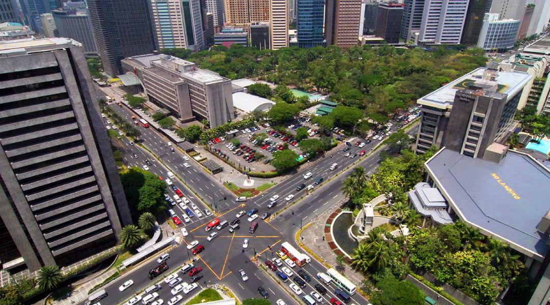
However, a crucial effort in easing traffic within Metro Manila is the EDSA Decongestion Program, a plan to finally free the busiest avenue in the region from daily, long-standing gridlocks by 2022. Composed of 25 projects, including 14 expressways spanning 121 kilometers and 11 bridges spanning 9.3 kilometers, the program seeks to give alternatives to around 200,000 vehicles, steering them away from EDSA and other key routes in the National Capital Region (NCR).
So, as we near the end of President Duterte’s term, and as we look forward to a new burgeoning of the nation as vaccines continue to get administered through the rest of the year, how is the program holding up? We chart a timeline of completed projects, as well as upcoming developments we can look forward to.
2014
As far back as seven years ago, developments to ease travel in the capital region already began. The start of 2014 saw the launch of NAIAX Phase II, a four-lane elevated expressway from the endpoint of Ninoy Aquino International Airport (NAIA) Expressway Phase I to PAGCOR Entertainment City. Now completed and open for public use, this roadway provides quick access to NAIA Terminal 1 from Skyway, cutting down travel time from 24 minutes to just 8 minutes.
On the note of connecting major highways, 2014 also saw the start of the North Luzon Expressway (NLEX) Harbor Link Segment 10, a 5.58 kilometer expressway connecting McArthur Highway and C-3. Now benefiting more than 20,000 motorists today, this segment reduces travel time from Valenzuela to C-3 Caloocan from more than 1 hour to a measly 5 minutes.
2016
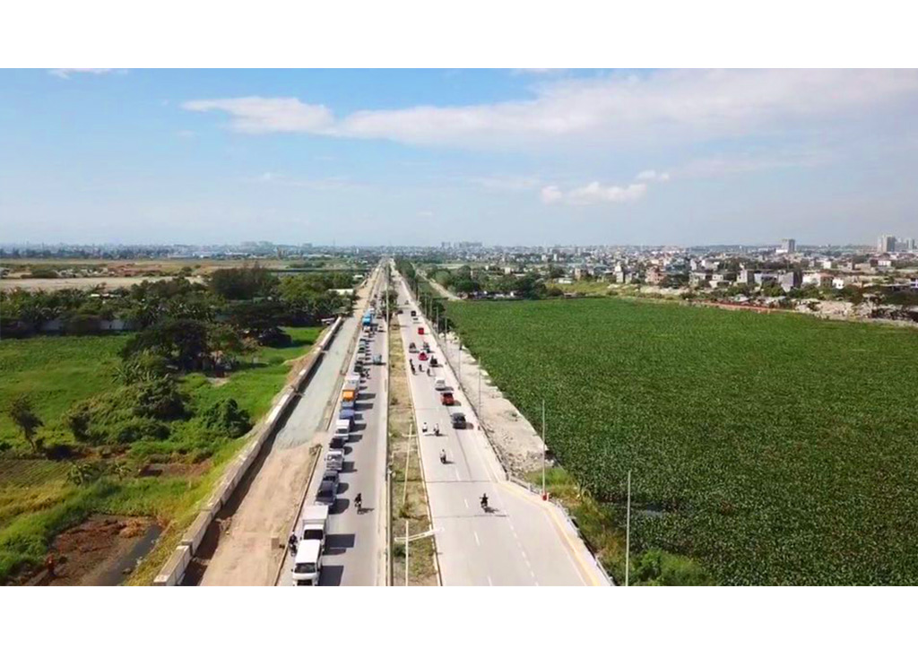
From the eastern regions of NCR, such as Rizal province, travelling through the central avenues and expressways are essential just to get around. However, the now-completed Laguna Lake Highway connects Taytay to Bicutan with a four-lane stretch of highway with dedicated bike lanes, lay-bys, and sidewalks to enjoy the scenic view of the nearby waters. This cuts down travel time between the two regions from more than an hour to just 30 minutes.
2017
Business districts will soon see massive improvements in travel with projects slated to finish this upcoming year. Soon to be completed by Q2 of 2021 is the BGC-Ortigas Center Link Road Project, consisting of the Sta. Monica-Lawton Bridge and the Lawton Avenue-Global City Viaduct. This will cut down travel time between Bonifacio Global City and Ortigas Central Business District to just 12 minutes.
Another project to decongest traffic in the Makati and Taguig areas towards the southern areas of Cavite, Parañaque, and Las Piñas is the C-5 South Link Expressway. The project began during Q3 of 2017, and saw the opening of Segment 3A-1 last July 2019. The completed project is expected to reduce travel time from R-1 Expressway to SLEX and C-5 from 40 minutes to just 10 minutes.
More than new roads, widening and improving existing ones can also decrease congestion. The Radial Road 10 connecting Manila and Navotas has been widened, halving travel time from one hour to just 30 minutes. The Fort Bonifacio-Nichols Field Road, commonly known as Lawton Avenue, was given an upgrade from four to six lanes, complementing the Sta. Monica-Lawton Bridge to be completed by the end of 2021. The Mindanao Avenue Extension project that started last 2017 is also slated to be completed soon, connecting the areas of Valenzuela, North Caloocan, Novaliches, and NLEX. This will reduce travel time from Quirino Highway to General Luis Avenue from 1 hour and 30 minutes to only 20 minutes.
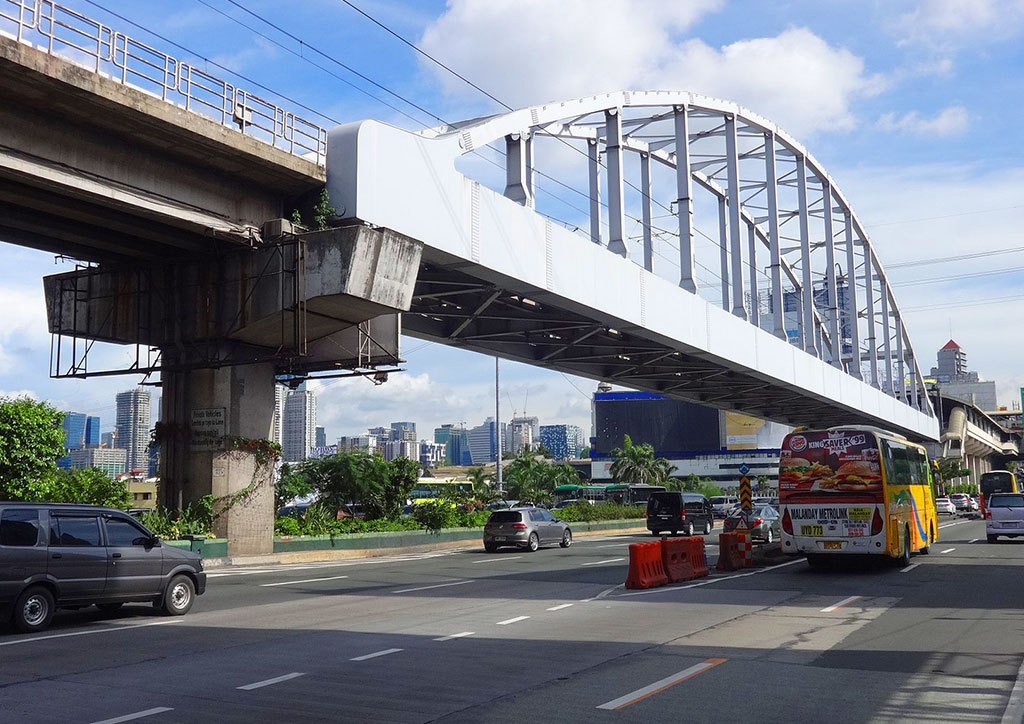
2018
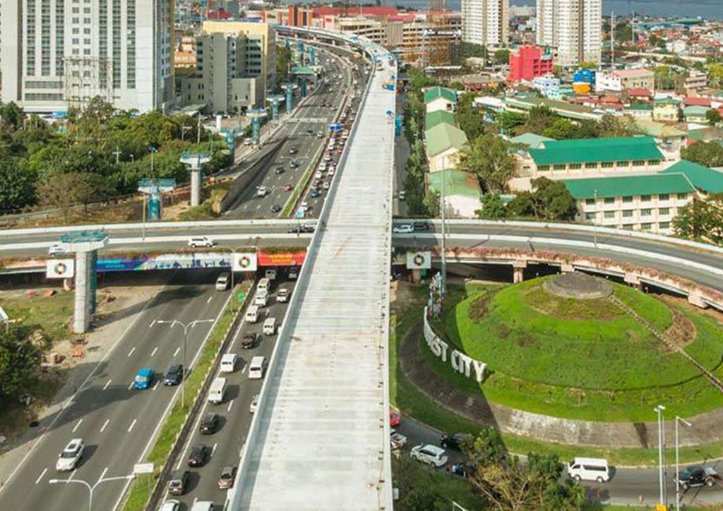
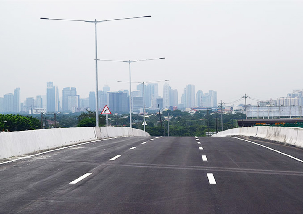
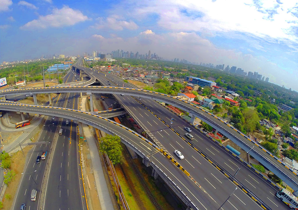
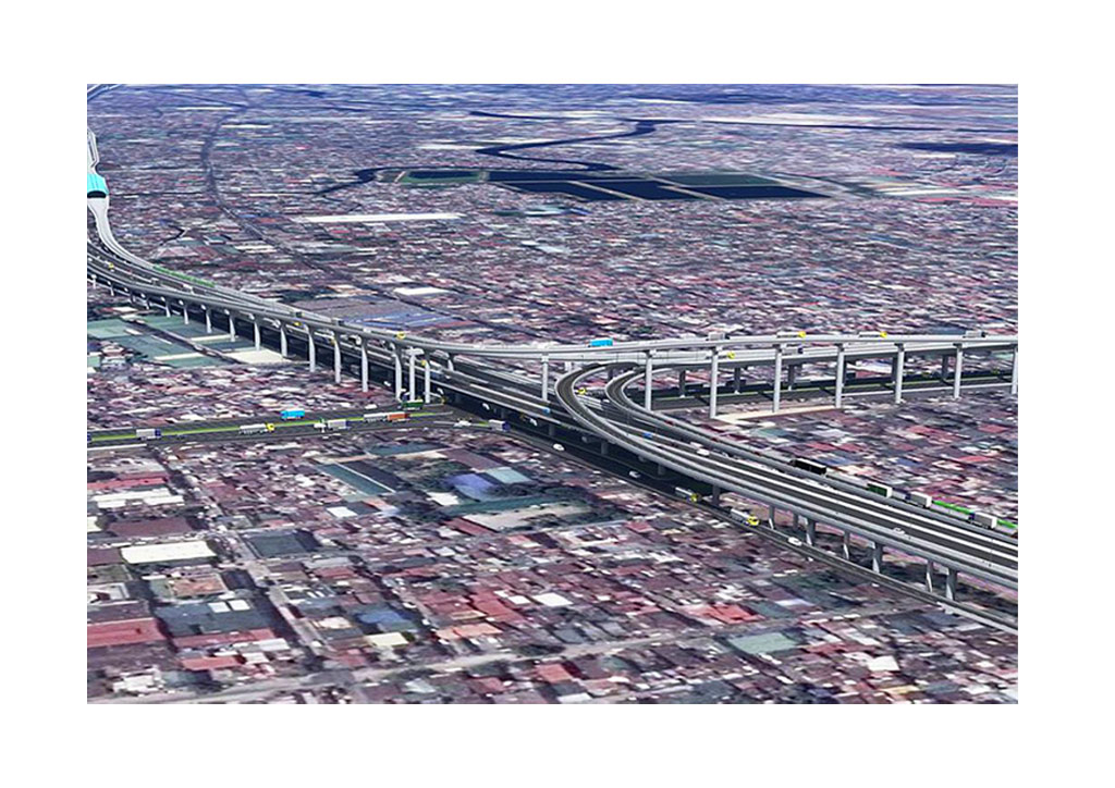
One of the more big-ticket projects under the EDSA Decongestion initiative is the Metro Manila Skyway Stage 3, an 18.83 kilometer elevated expressway from Buendia, Makati to the North Luzon Expressway in Balintawak, Quezon City. Officially approved on October 25, 2018, and later opened free of charge for motorists last December 2020, the Skyway still continues to open new on and off ramps, reducing travel time from Makati to Quezon City from two hours to only 15 to 20 minutes. This means going to South Luzon Expressway (SLEX) from NLEX, or vice versa, will be shortened from 2.5 hours to only 30 minutes. This is also the first first time in Philippine history that expressways operated by different concessionaires–San Miguel Corporation for Skyway and Metro Pacific for NLEX/SLEX–will interconnect.
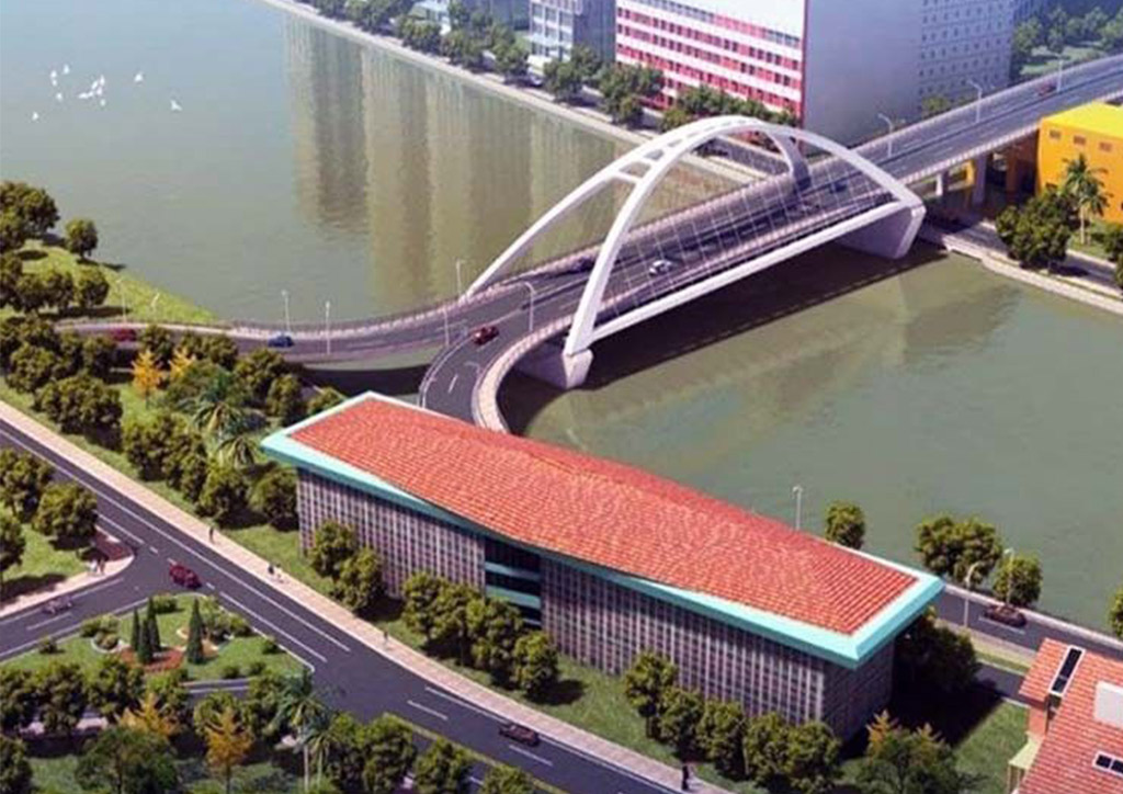
Two bridges started construction last 2018, namely the Binondo-Intramuros Bridge connecting two highly-visited cultural hotspots, and the Estrella-Pantaleon Bridge to connect Estrella Street at Makati to Barangka Drive at Mandaluyong. Port areas are also a source of high traffic, which is why the NLEX Harbor Link C3-R10 Section was constructed to shorten travel time from Quezon City to Manila (and vice versa) from 2 hours to only 20 minutes. This will benefit 30,000 motorists per day.
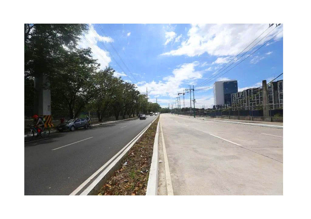
With the hopes of connecting more cities that often rely on EDSA or other main highways, the Southeast Metro Manila Expressway started construction to benefit almost 90,000 motorists travelling from Bicutan to Batasan, and vice versa. With its completion in 2022, travel time will be reduced from almost 2 hours to just 26 minutes. Finally, targeting a couple of notoriously traffic-heavy areas is the newly-widened Samar Street, connecting Mother Ignacia Street and Timog Avenue in Quezon City. This serves as an alternative for those taking EDSA just to reach Cubao or Makati.
2019
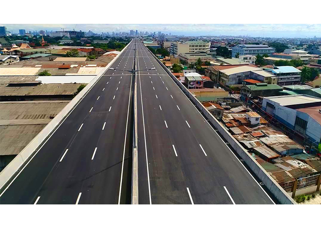
Oftentimes, the busiest avenue in NCR is used to quickly travel to and from business districts and weekend go-tos. But for provincial travels, EDSA remains a transitional avenue whether going north or south. That’s why the NLEX-SLEX Connector Road began construction in May 2019 to reduce traversing through NCR from 2 hours down to 20 minutes. This 8 kilometer, four lane elevated expressway connects the end of Segment 10 in C-3 Road, Caloocan to the Skyway Stage 3 project, mostly traversing along the PNR rail track.
2020
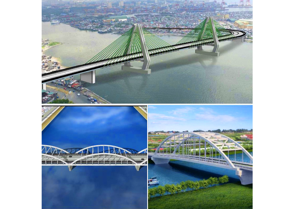
A series of bridges crossing Pasig River and Manggahan Floodway began implementation last 2020, which aims to improve the flow of traffic and increase mobility around Metro Manila. The North & South Harbor Bridge in the port of Manila, the Palanca-Villegas Bridge crossing Pasig River, and Eastbank-Westbank Bridge 2 that connects Pasig City and Cainta.
2021
Accompanying the three bridges from the year before, plans for three more bridges crossing Marikina River have begun this year. As road traffic congestion in the surrounding areas of Metro Manila’s waterways continues to grow given max capacity bridges, the Marikina-Vista Real Bridge near Batasan Hills, J.P. Rizal-Lopez Jaena Bridge near A. Bonifacio Avenue, and J.P. Rizal-St. Mary Bridge right behind the Marikina Public Market aims to solve this problem.
Aside from increasing capacity, structural integrity is also a key factor in ensuring the longevity of our current bridges. That’s why the EDSA Decongestion Program also includes the seismic improvement of Guadalupe Bridge and Lambingan Bridge, with completion scheduled for 2023.
Finally, the NLEX Harbor Link Segment 8.2 is now planned to reduce travel time from Mindanao Avenue to Commonwealth Avenue in just 10 minutes. This 8.35 kilometer stretch of expressway seamlessly connects with previous NLEX Segments extending all the way to the heart of Manila: crossing Segments 8.1 and 9 in the Valenzuela area, down to Segment 10, passing the C3-R10 Section, and arriving at R-10 and, ultimately, Roxas Boulevard.